

After a snowy December, forecasters are tracking a succession of winter weather systems poised to affect the Great Lakes region and the Northeast in early January. AccuWeather meteorologists say a sequence of storms will swing through much of the northern and eastern United States over the coming week, bringing a combination of snow, ice, rain and rapidly changing conditions that could make travel hazardous.
The pattern begins with a fast-moving Alberta clipper-style storm, which will first deliver light snow across parts of Minnesota and Wisconsin. As this system moves eastward, it will carry warmer Pacific-sourced air into the region, allowing precipitation to mix with or transition to ice and rain in some locations before cold air reasserts itself.
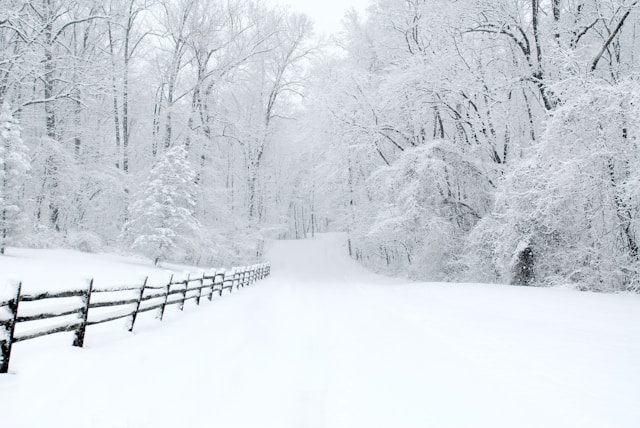
Snow, Ice and Slippery Roads Expected
The mix of precipitation types is expected to complicate forecasts. In the northern Great Lakes, snow accumulations from the initial storm may be moderate, but as warmer air pushes northward, ice accumulation will become a concern for interstates and secondary roads. Highways could see slick surfaces as freezing rain and sleet develop, especially in the middle of the week.
Further east, drivers in upstate New York and interior New England may face hazardous driving Wednesday night into Thursday as mixed precipitation spreads across those areas. Snow and ice can significantly reduce traction on bridges, overpasses and untreated surfaces, creating conditions that require slower speeds and extra caution.
Weather Evolution Over the Week
Although the initial systems will bring wintry precipitation, meteorologists forecast the atmosphere will warm later in the week, which could shift precipitation toward rain in regions further south while colder pockets to the north remain dominated by snow and ice. Areas such as Pittsburgh to Providence, Rhode Island may see a blend of wet and wintry weather before colder air returns.
AccuWeather also notes a fourth storm may develop later in the week across the central and eastern United States, potentially bringing another round of impactful weather. This system could further raise temperatures temporarily and extend travel disruptions as rain or mixed precipitation overspreads parts of the Northeast and Great Lakes before a renewed plunge in temperatures.
Travel Challenges and Weather Hazards
The unfolding pattern illustrates how rapidly changing winter weather can pose hazards for both road and air travel. Snow-squall activity and lake-effect snow showers remain a wildcard, with potential for localized heavier snow and sudden visibility reductions downwind of the Great Lakes. Drivers should be alert for flash freeze conditions, where temperatures drop quickly, creating ice slicks on highways, bridges and rural roads.
These upcoming storms reflect highly dynamic winter weather, with conditions shifting day-to-day. While forecasters can identify larger trends, precise snowfall and ice totals remain uncertain until each system arrives. Localized wind and temperature differences can drastically alter precipitation outcomes within short distances, meaning travelers should monitor updated forecasts and advisories closely.
Broader Weather Context
This projected storm series is part of a larger active winter pattern across much of the northern United States. Recent weather reports indicate widespread lake-effect snow and Arctic air already impacting travel across the Great Lakes and interior Northeast, and early January is shaping up to continue that trend. Snow squall warnings and flash freeze alerts issued by state transportation and weather agencies highlight how sudden changes in conditions can catch unprepared motorists off guard.